
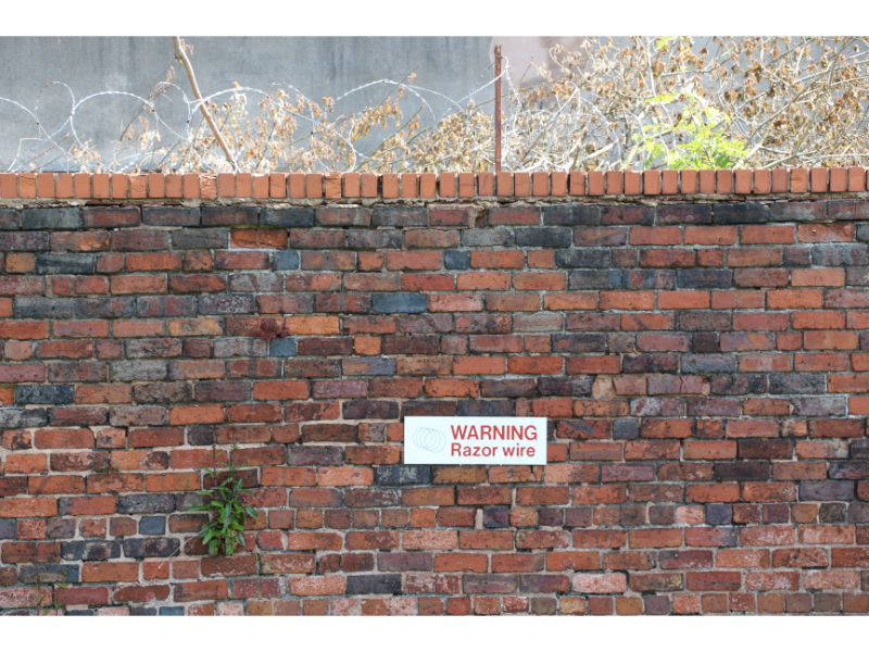
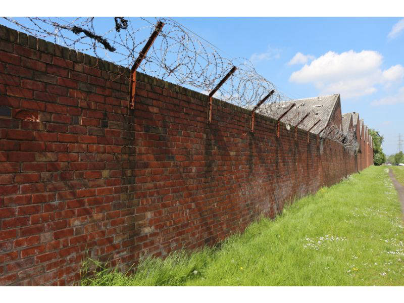
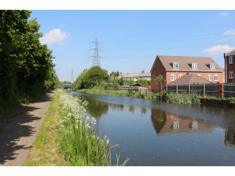
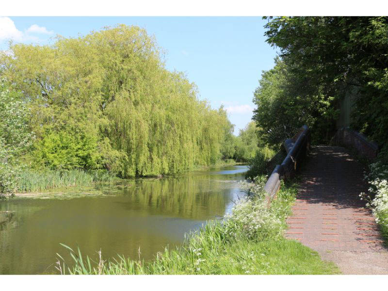
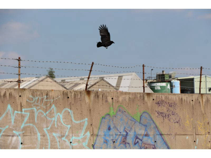
Ryders Green marks the start of the Walsall Canal where it departed the Wednesbury Old Canal in 1786. It seems that boaters are generally warned that the canal is too shallow and full of rubbish. The latter is definitely true as you will have no problem spotting tyres, kitchen fittings, pallets and much other debris, in addition to the traditional traffic cones and trolleys, deposited in the water, which is a shame, as the towpath is quite good and the walking easy.


At Ryders Green top lock you can no longer take your ease at the Eight Locks pub, before dropping 45ft from the Birmingham to Walsall level. Great Bridge needn't delay you unduly but there are a lot of bridges to go under including Great Bridge Bridge, so good they named it twice, Wellington (Foot) Bridge (named after the former adjacent steel works), Brickhouse Lane Bridge which carries a useful telephone number if you want to have sex with a local service provider, and then under Great Western Way (the former Dudley Port to Wednesbury railway) and on to where the old Haines Branch left just after Bottom Lock 8. On the opposite side of the canal there were once several basins that constituted one of the largest BCN railway interchanges but now it's just bird song that predominates.
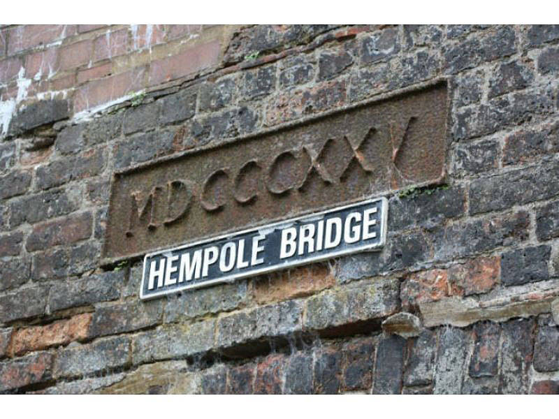
The next bridge is Hempole Lane Railway Bridge and then going off to the right just after Hempole Lane Bridge was the Danks Branch, a short cut to Golds Hill Bridge on the Tame Valley Canal. A housing estate covers what was the Great Bridge Iron and Steel Works and after Moors Mill Lane there's Toll End Junction, now a winding hole but once where the Toll End and Tipton Green Communication canal departed, crossing the Birmingham main line at Watery Lane and then connecting with the old main line via Tipton Green Locks. It was abandoned in 1960.
Ocker Hill is notable as the location of the first BCN pumping station, containing a Boulton & Watt engine it was built in 1784 but was only in operation for 164 years. After passing the boats on the Lower Ocker Hill branch, you'll reach the Tame Valley Canal that leaves arrow straight off to the right from the eponymous junction. After Doe Bank Bridge on the tow path side was, from 1902 - 1977, Ocker Hill Power Station with its landmark three cooling towers. Constructed to power most of the Black Country, the site is now just another housing estate.
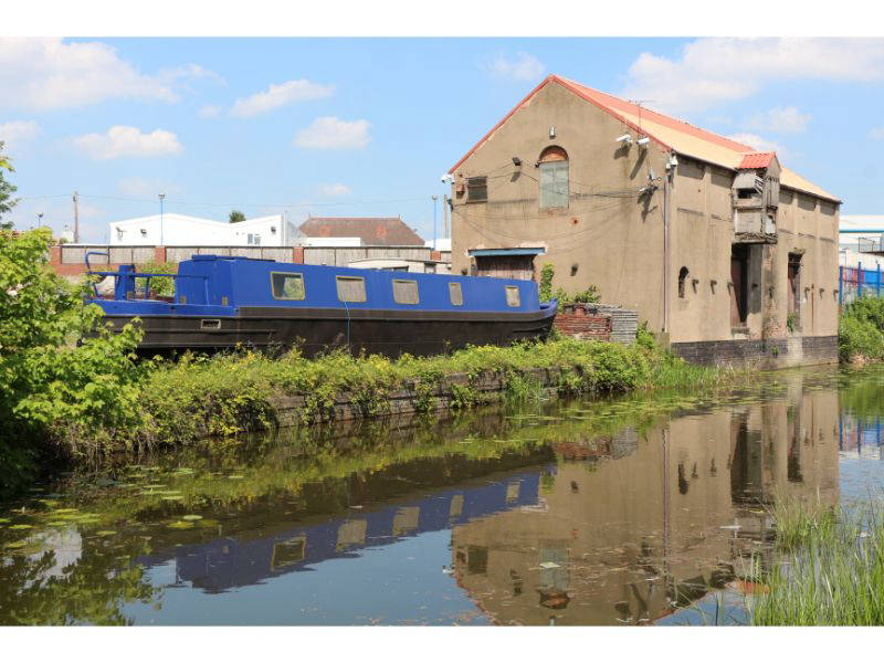
Before Leabrook Road the canal opens out and shakes off its advanced vegetative state but then normal service is resumed when the surrounding factories turn to houses. Crossing the cute Wiggins Mill Footbridge you reach the Gospel Oak Branch and derelict (non-existent) Leabrook Basin. Under the Metro bridge and to the right stood the Monway Iron & Steel Works. Served by its own branch canal and railway, it was renowned for producing the finest barrels for gunmakers in Birmingham and for the US government.
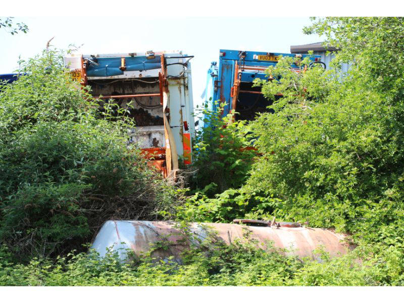
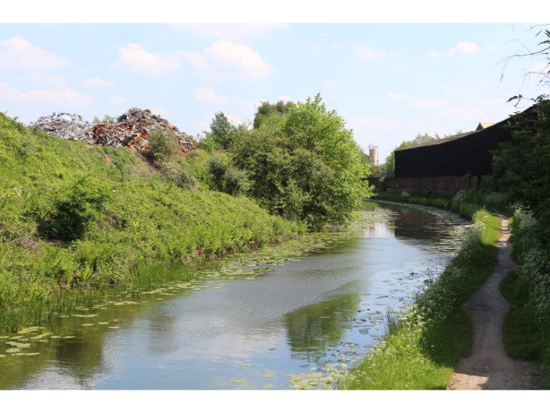
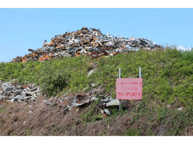
The approach to Willingsworth Hall Bridge is quite pleasant with benches. The Bradley Branch canal, which connected with the old main line, is still apparent at Moorcroft Junction and you could almost be out in the country. However you realise this is just a narrow oasis as you pass another scrapyard at Holyhead Road Bridge in an area, like most, that was once covered with iron works. Just before and after Barnes Meadow Bridge you pass the barely perceptible Bilston and Willenhall branches, Black Country towns which were once caught up in the web of canals.
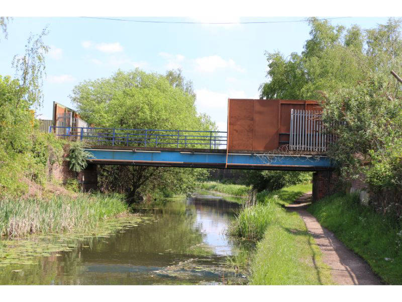
By Porket's Bridge you're probably tiring of the parallel main road that has been adjacent to the canal for some time, the Black Country Route is hard to shake off as the canal continues through fairly boring built up surroundings. Weeping willows finally do replace pylons but the urban landscape returns with a vengeance after Bughole Bridge with great heaps of scrap metal and towering walls. As the canal swings round towards a railway aquaduct, the blast furnaces of the Darlaston Steel and Iron Company would have been both sides of the canal. Further on you pass the Anson Branch that opened in 1830, connecting with the Bentley Canal, and closed in 1961. After skirting the large James Bridge Cemetery and aquaduct, there's sunbathers, anglers and a fairly open vista before ducking under the M6.
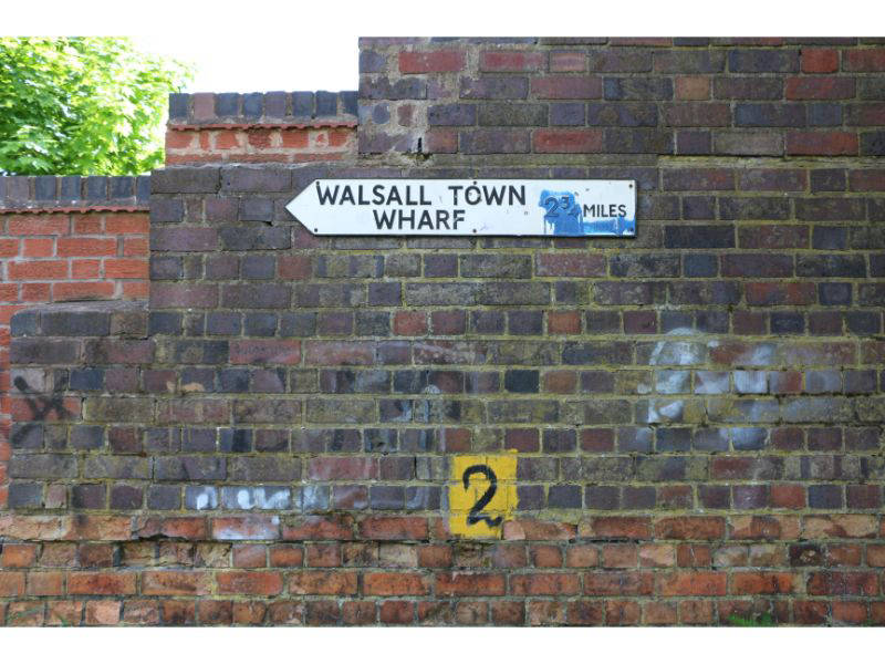
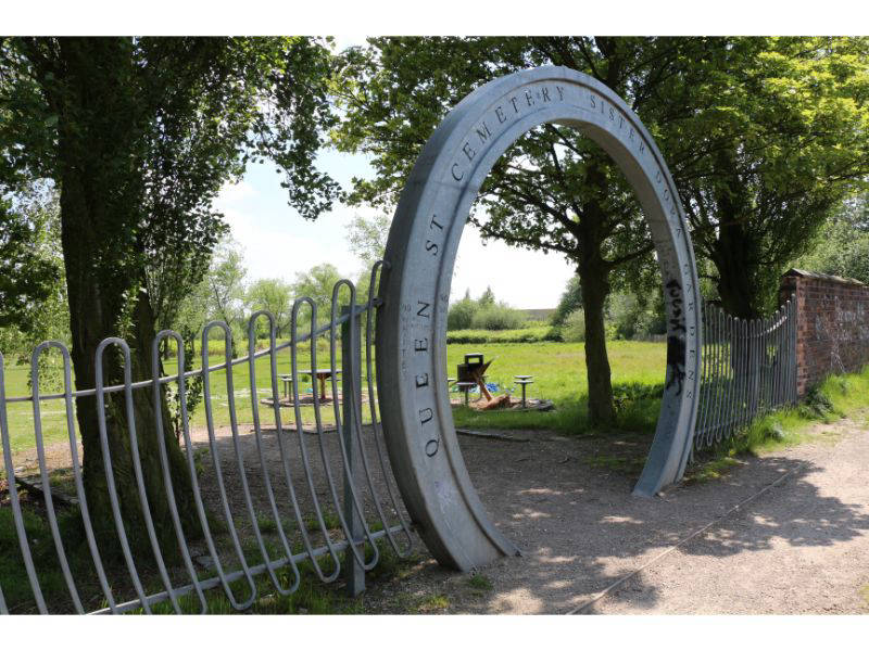
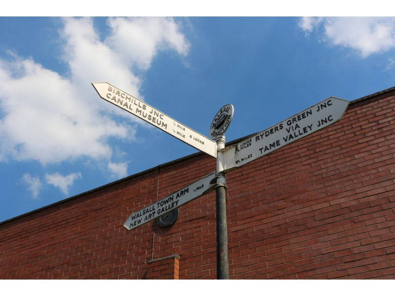
After this point the amount of detritus markedly increases but the journey into Walsall isn't totally unpleasant even with the metallic clanking of nearby factories ringing in your ears. Over the Gas Works branch and you'll pass the entrance to Queen Street Cemetery, last resting place of local heroine Sister Dora who according to the blue plaque 'worked tirelessly to improve the health of the people of Walsall. Soon you're at Walsall Junction where the canal departs to Walsall Town Wharf and the atmosphere changes with factories banished in favour of apartments, bars and the new art gallery.
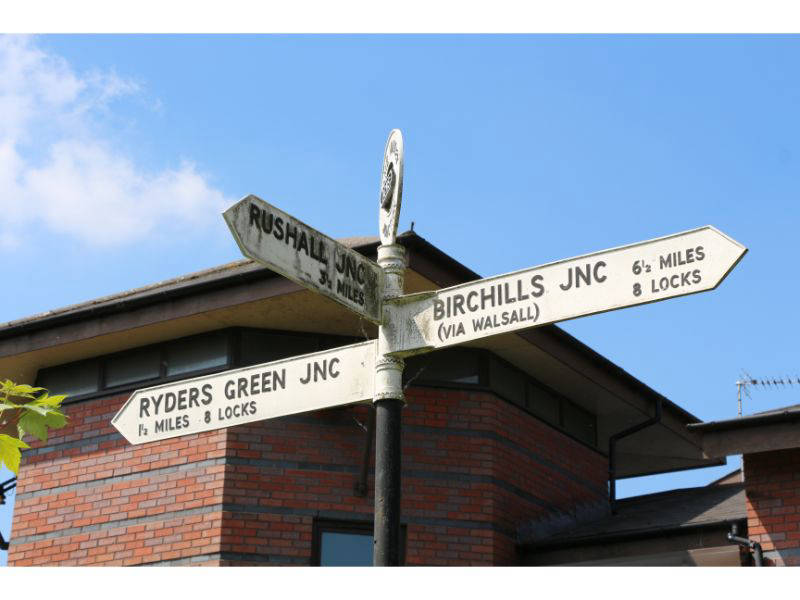
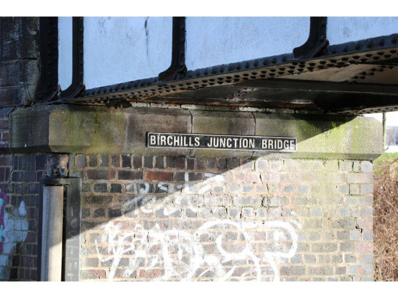
Returning to Walsall Junction you bear right along the eight Walsall Locks. Once a very busy section of the BCN, today the Walsall Branch Canal is a fairly grim backwater, opened in 1841 it lifts the canal up to the 473ft Wolverhampton level at Birchills Junction.
At the top lock there is an interesting collection of buildings, a former mission that offered boaters a bath and spiritual enlightenment rather than alcohol and also served as the Birchills Canal Museum before the money ran out. Opposite, the boatyard was once owned by well known carrier and boatbuilder Ernest Thomas, much of whose business derived from the nearby power station. There's a dovecot further on, an infrequent sight in this part of the world. Much more common, a collection of shopping trollies, can be observed dumped below Birchills Aqueduct before you reach the Wyrley and Essington Canal at Birchills.
Follow this walk on YouTube