
Chasewater is the largest reservoir on the BCN, it was constructed as the Cannock Chase Reservoir in 1797 to supply water to the Wyrley and Essington Canal extension from Sneyd to Huddlesford Junction on the Coventry Canal. To service the Marquess of Anglesey's collieries in the area, the Anglesey Branch was opened in 1850 and coal continued to be transported on the branch until 1967. The walk starts at the winding hole at Anglesey Basin below the reservoir which is the northern most point on the BCN.


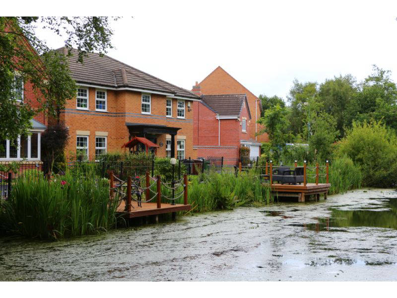


The tow path deviates from the canal around the basin through pleasant woodland, rejoining the canal at Anglesey Wharf before Anglesey Wharf Bridge which carries the M6 Toll Road. You then pass the entrance to an old basin adjacent to Burntwood Road Bridge and, except for traffic noise from the M6 Toll Road, the environment is agreeable with an embankment then fields on the tow path side. Opposite there are smart houses, playing fields and some industrial activity.
After Freeth Bridge there's an aqueduct over the former South Staffordshire railway line which is now the McClean Way, a walking and cycling route. Between Middleton Bridge and Anglesey Bridge the canal straightens and you have a juxtaposition of a huge factory towering above you on one side and semi-rural fields on the tow path side.
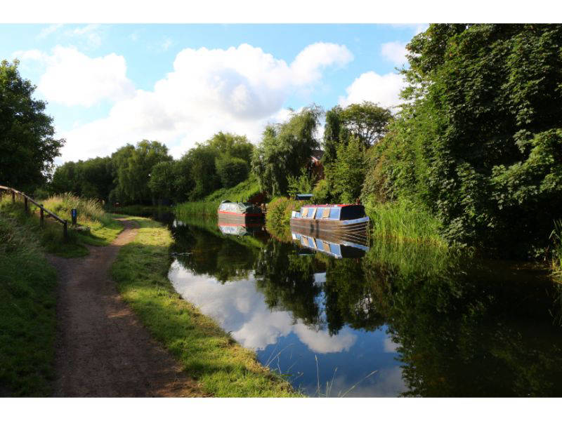
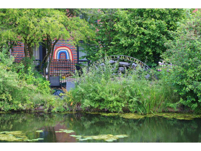
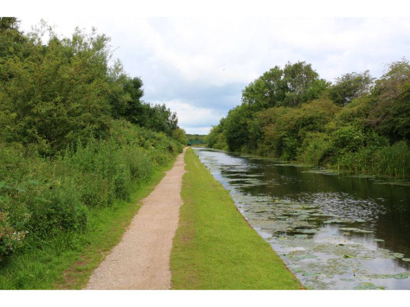
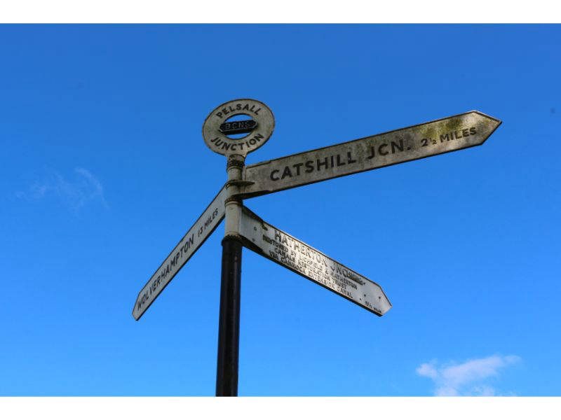
You then immediately reach the beautiful Horseley Bridge at Ogley Junction. Abandoned in 1954, the canal between here and Huddlesford Junction is currently being restored. Bearing right, you pass a winding hole, useful if there was any boats, the traffic noise disappears and the canal is accompanied by attractive countryside. You won't miss the former mill, now flats, on the off side but the Sandhill Arm on the tow path side has completely disappeared. The rural outlook continues until Anchor Bridge where housing takes over as you approach Catshill Toll Stop and Junction with the Daw End Branch.
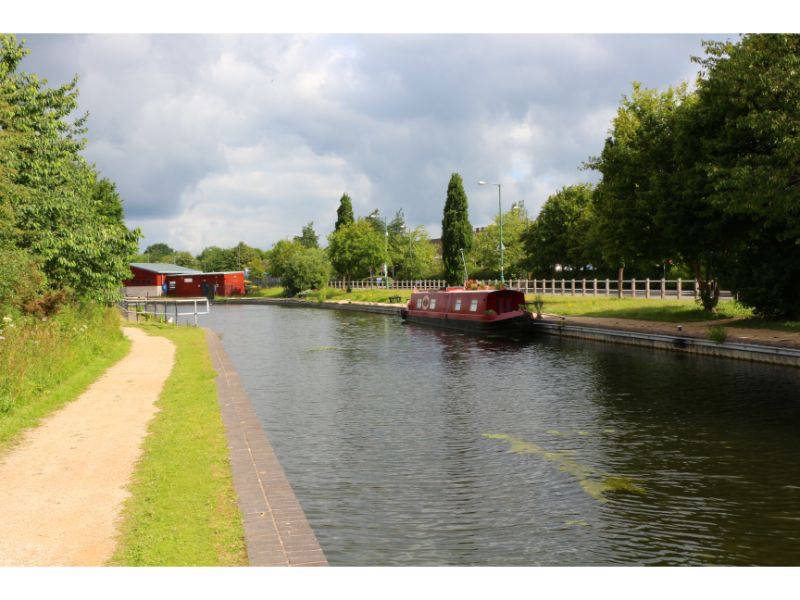
Cross the bridge and the tow path improves, and there's even a boat taking advantage of the moorings outside Tesco and a few more moored in the L&NWR basins further on where the canal turns sharply past modern housing with piers built into the canal. The railway to Walsall Wood used to cross the canal before Coopers Bridge and then you go under the disused South Staffordshire Line before reaching Beck's Bridge.
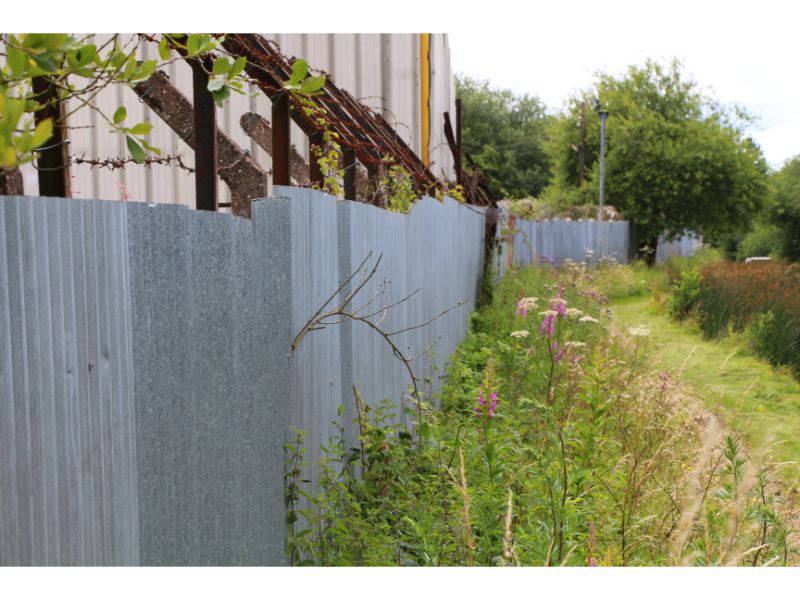
It's not exactly a rural idyll as the Jolly Collier Bridge is reached but could be worse. There's lots of traffic noise, and cyclists on 'National Cycle Network 5' need to be avoided. Industry takes over before the Slough Railway Bridge which carries the disused Norton Branch, the Slough Arm canal once departed from the far side of the bridge as bends sharply and there were also several arms servicing line kilns in the immediate area. You then follow a rather utilitarian metal fence decorated with barbed wire, the outlook becomes greener approaching High Bridge although a century ago there would have been several basins serving coal shafts and lime kilns on the far side.
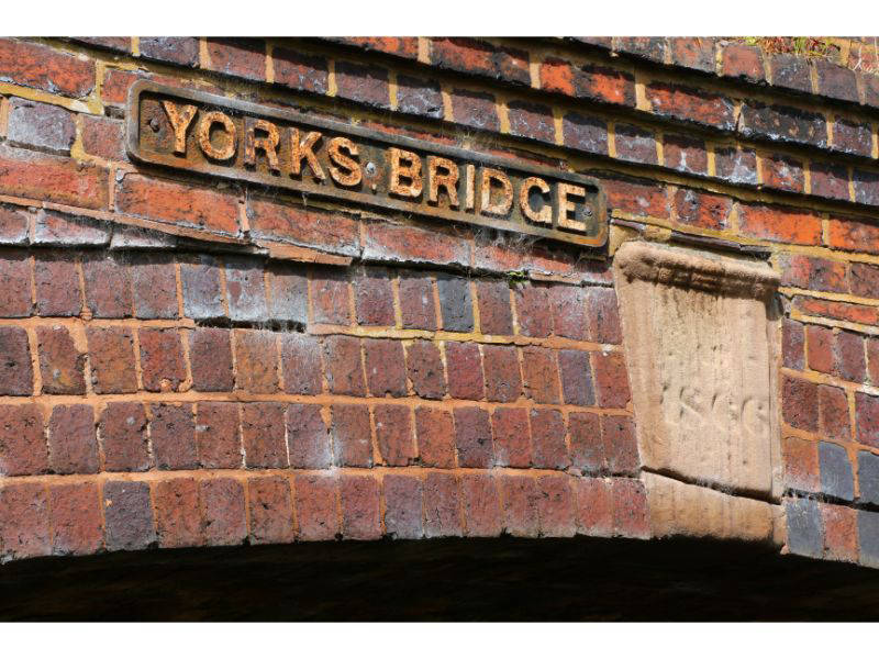
The tow path deteriorates and nothing much happens unless you hunt lost canals as Gilpin's Arm departed from the tow path side on the corner before you reach York's Foundry Bridge. Open fields make an appearance before York's Bridge and the Fingerpost pub (formerly the Royal Oak). You soon reach Pelsall Junction, cross the eponymous bridge and then under Friar Bridge past the BCN cottages and onto the Cannock Extension.
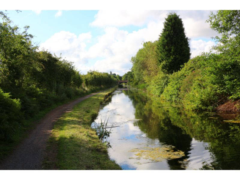
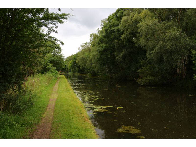
The Extension was the last BCN canal to be constructed and opened fully in 1863. The section that is still navigable, and walkable, 1½ miles to Watling Street, became operational in 1858. It was built to carry coal from the 'inexhaustible mines of Cannock' to Birmingham, today it's still straight as an arrow but very quiet with fields on both sides.
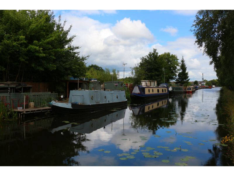
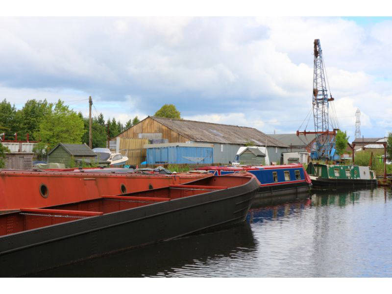
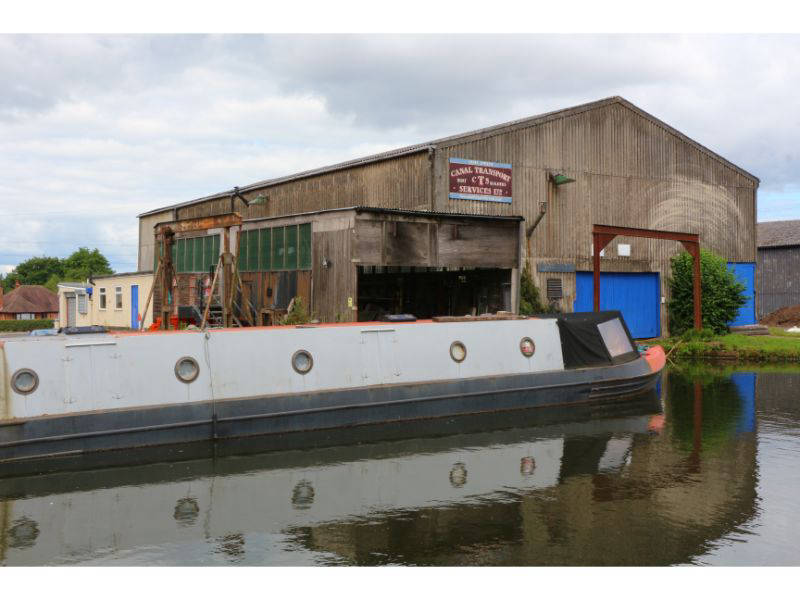
Traffic noise increases after Wyrley Grove Bridge but the surroundings remain green and the canal is lined with reeds and is full of water lilies. Just before you think you won't see a boat, there's moorings at two old colliery basins, these were served by a tramway that crossed the canal. Following Pelsall Road Bridge there's even more activity with a boatyard, and narrowboats line the canal until the Extension calls it a day where the A5 cuts it in half at Norton Canes.
Follow this walk on YouTube